Charleston, South Carolina

Our travels south from New York have taken us along the New Jersey coast to Cape May and then northward into the Delaware. After passing through the Delaware-Chesapeake canal we headed south to Annapolis and then on to Norfolk at the southern end of Chesapeake Bay. Up to this point we were able to day sail, covering anywhere from about 30-50 miles depending on tides and wind and a lot of help from our trusty Perkins engine.
South of Norfolk we could not use the Intra Coastal Waterway because of 65ft bridge heights and our 70ft mast. This meant we had to passage offshore and as there are very few safe and well marked inlets along the entire coastline around Cape Hatteras and south to the Florida border we had to do three long overnights ie Norfolk,VA to Beaufort,NC (200nm+), Beaufort,NC to Charleston,SC (200nm+) and finally Charleston,SC to Brunswick, GA (120nm). These are shown on the above map.
 The redeveloped waterfront along the Cooper River in Charleston. The aircraft carrier USS Yorktown can be seen in the background permanently berthed at the Naval and Maritime Museum.
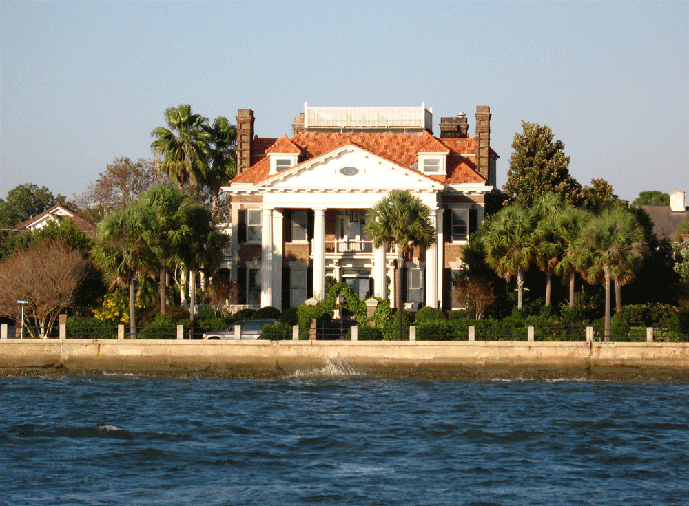 Many of S Carolina’s Plantation Owners built city homes along Charleston’s seaward facing shoreline to catch the cooling summer sea breezes.
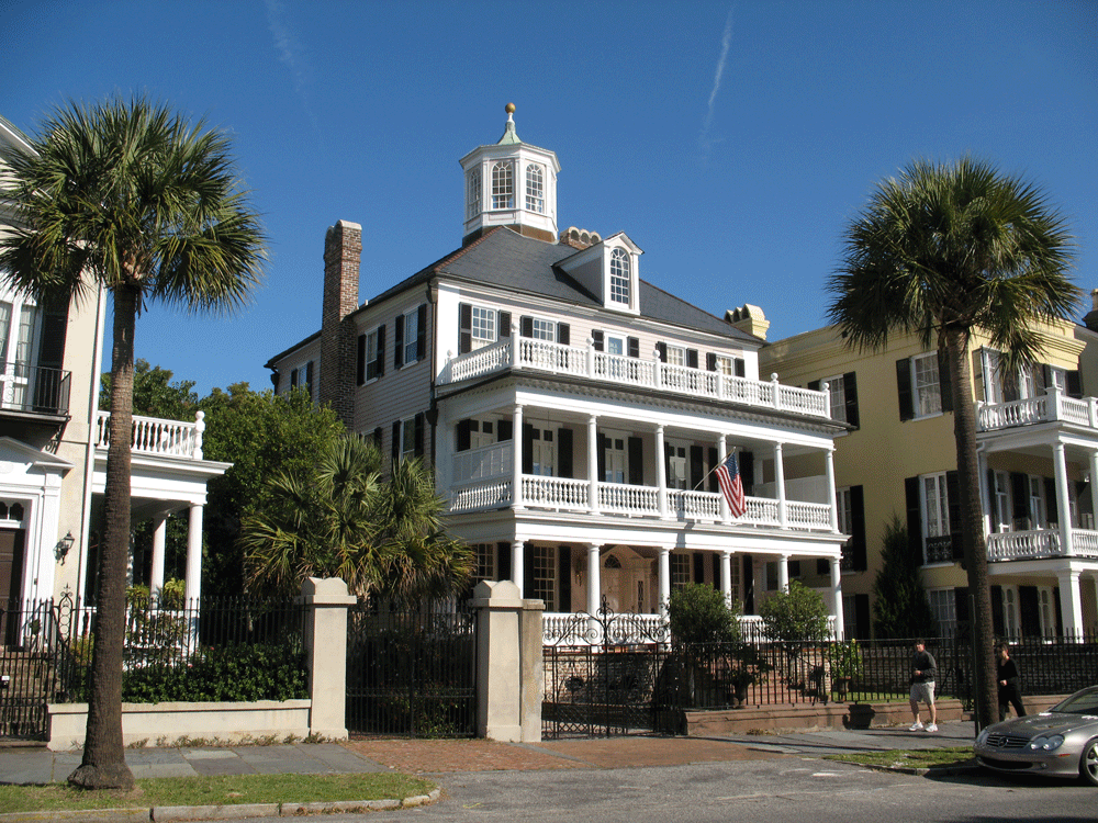 Most homes built in the prosperous times prior to the Civil War exhibit a typical architectural style.
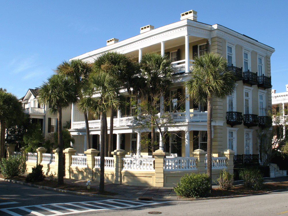 Yes , this really is one home and not 3 apartments.
 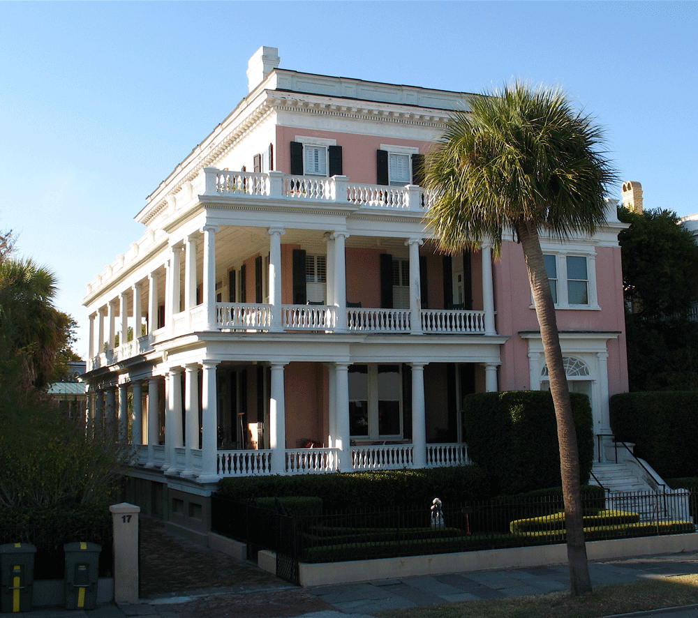 Extensive balconies usually faced south.
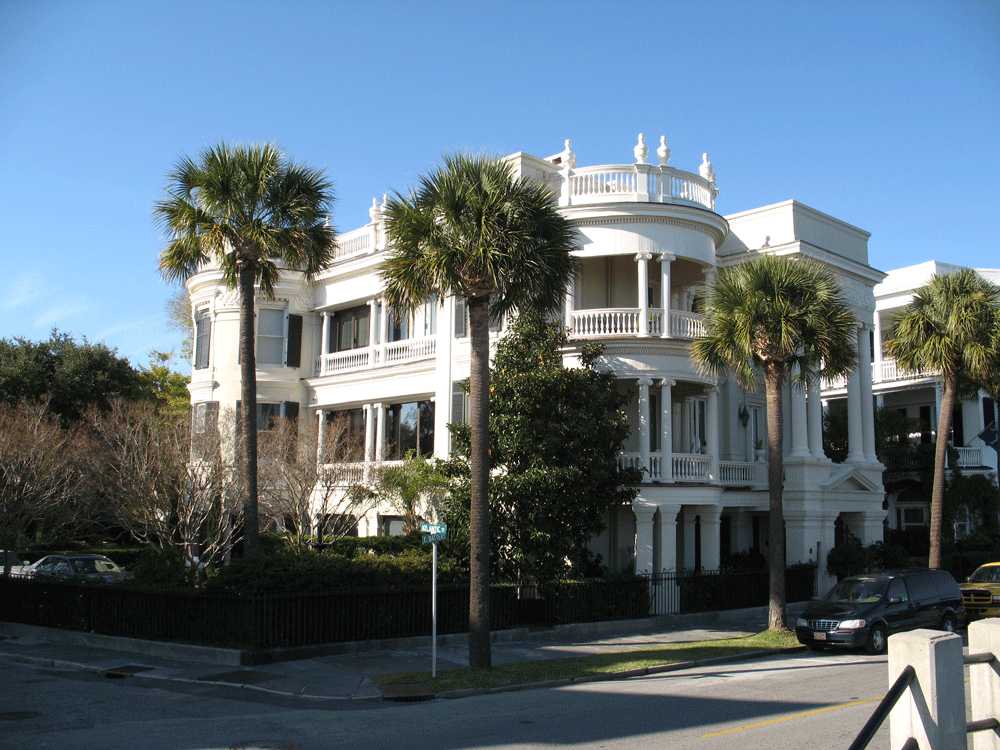 Examples of an even grander style are to be found on Battery Street.
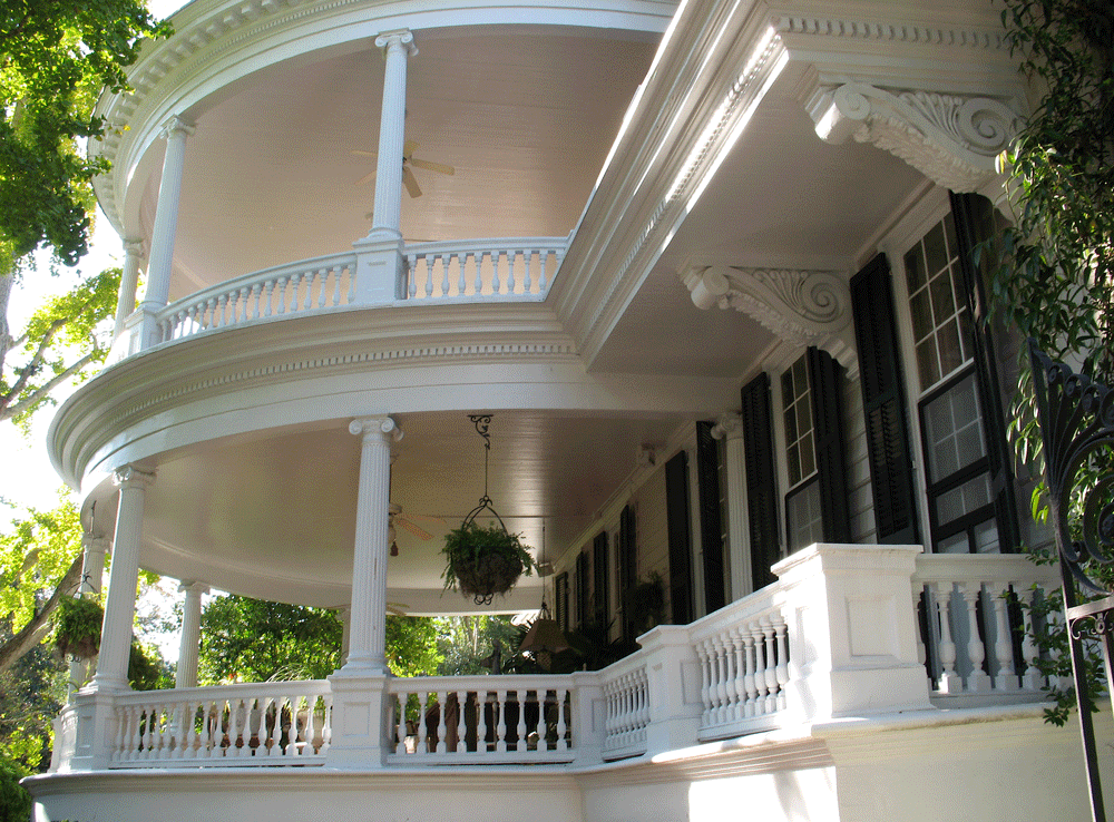 Literally hundreds of these majestic homes cluster around this part of the city, all beautifully maintained.
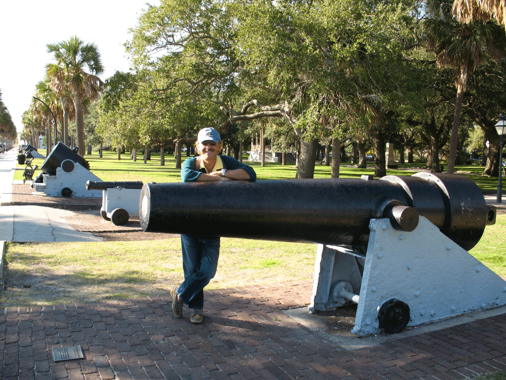 The Battery at the end of the Charleston peninsula, now a series of gardens, housed the guns that protected the city during the War of 1812.
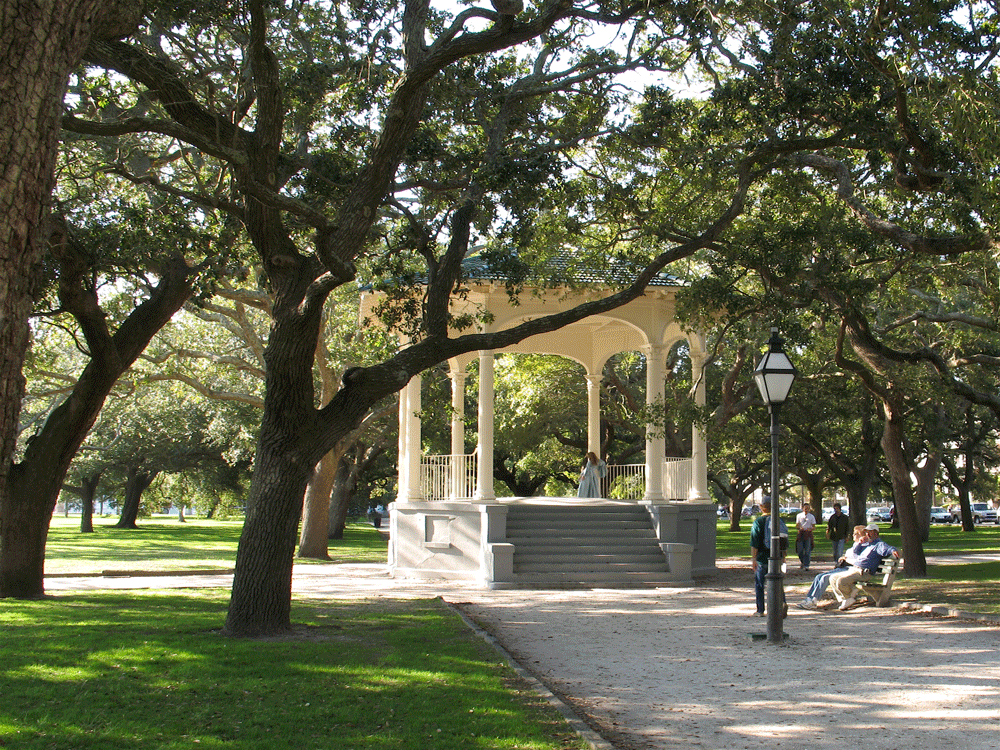 White Point Gardens at the site of the old Battery provides a photo op for a young girl dressed in period costume as a ‘Southern Belle”.
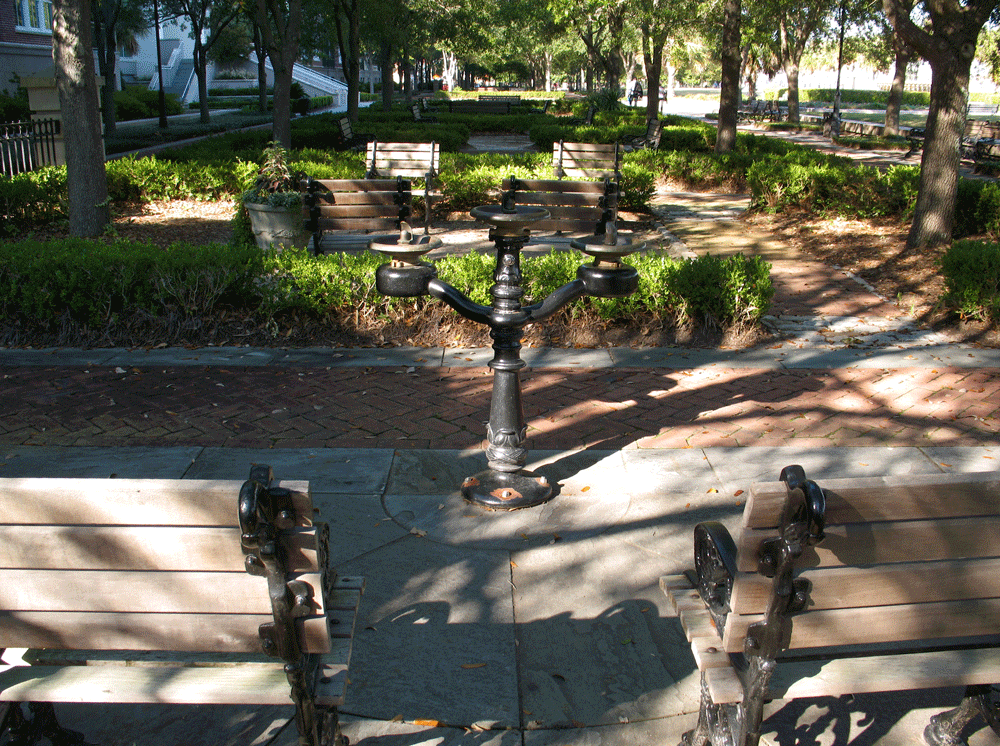 A waterfront park. Part of the redevelopment project.
 The city is also renowned for its many and varied church spires and steeples.
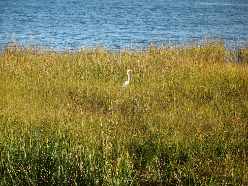 The entire coastal fringe between Cape Hatteras and southern Georgia consists mainly of marshes, rich in wildlife and dissected by a myriad of interconnected tidal waterways. The Egret is a common inhabitant.
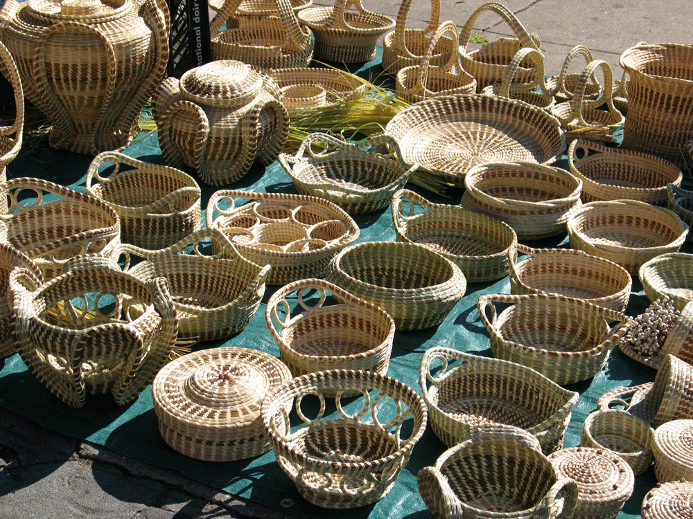 Sweet Grass basket making is a local craft commonly on display at the City Market.
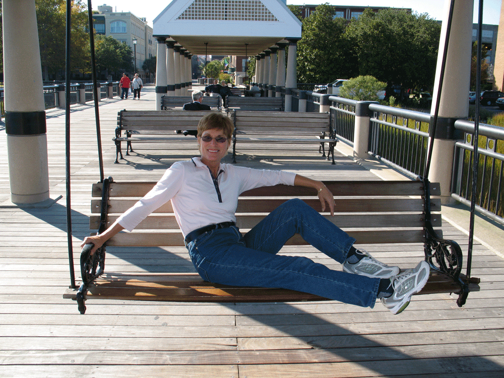 Traveler’s Rest. A neat way to chill out on one of the City’s piers.
posted by Water Music @ 1:29 PM
0 comments
![]()
![]()

0 Comments:
Post a Comment
<< Home